Please note there is an event on the field on Sunday 21st April which will limit access to the field except for the play area. The top pedestrian gate into the field will also be locked. Also due to the weather conditions no vehicles will be on the field so the car park will be full. Thank you for your understanding and apologies for any inconvenience. Brailes Village Hall and Pavilion Committee.
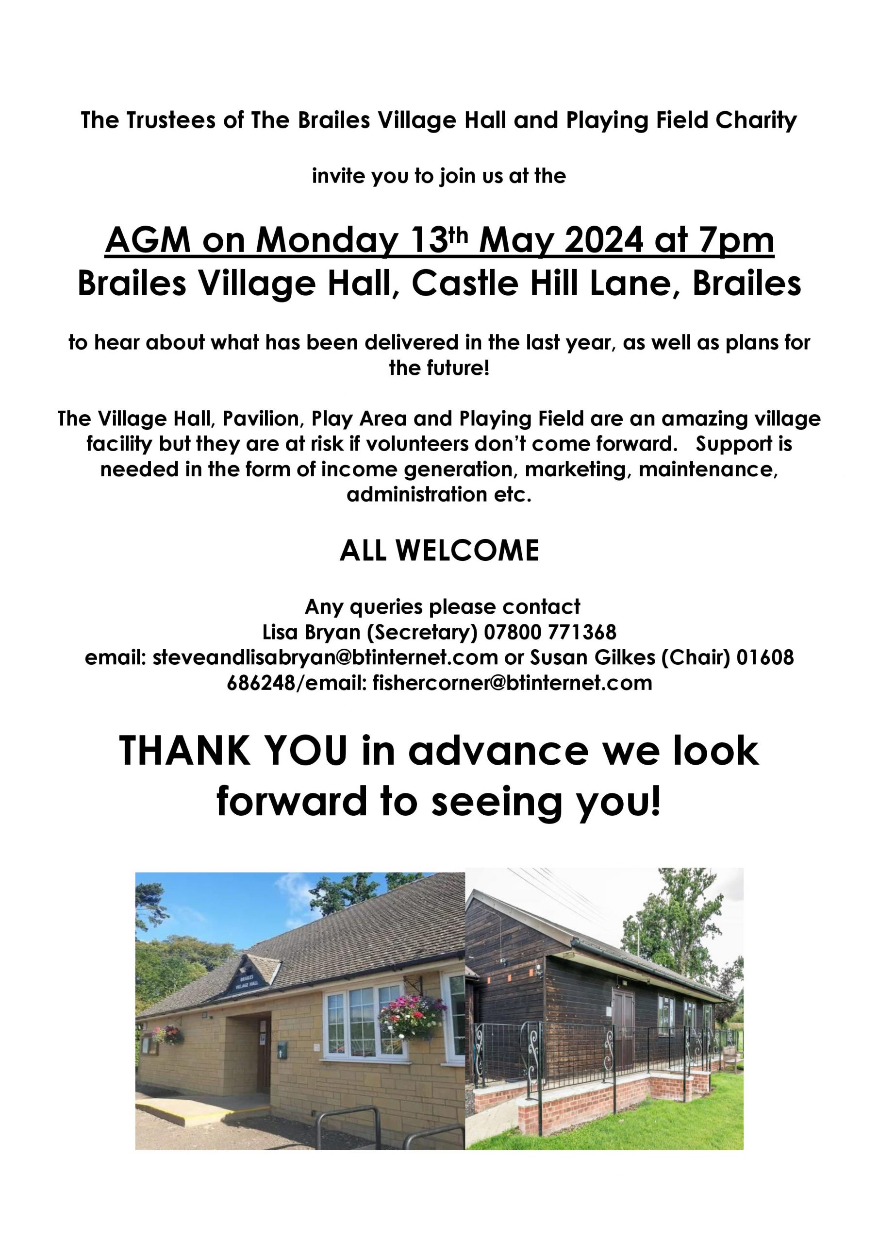
Brailes Village Hall AGM
Brailes Picturehouse 2024 …
Dates for your diary:
Saturday 20th April – Oppenheimer
Saturday 18th May – Wonka TBC
TICKETS £5.00 ADULTS. UNDER 15’S £3.50
REFRESHMENTS AND ICE CREAM AVAILABLE